


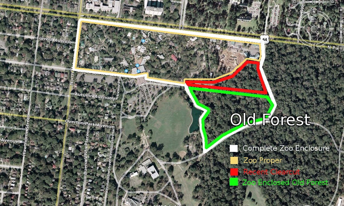
I've created a visual overlay in Google Earth of the 6 PDFs that Stacey exposed to sunlight.
If you don't want to mess with Google Earth, here's the demolition plan superimposed on the canopy.
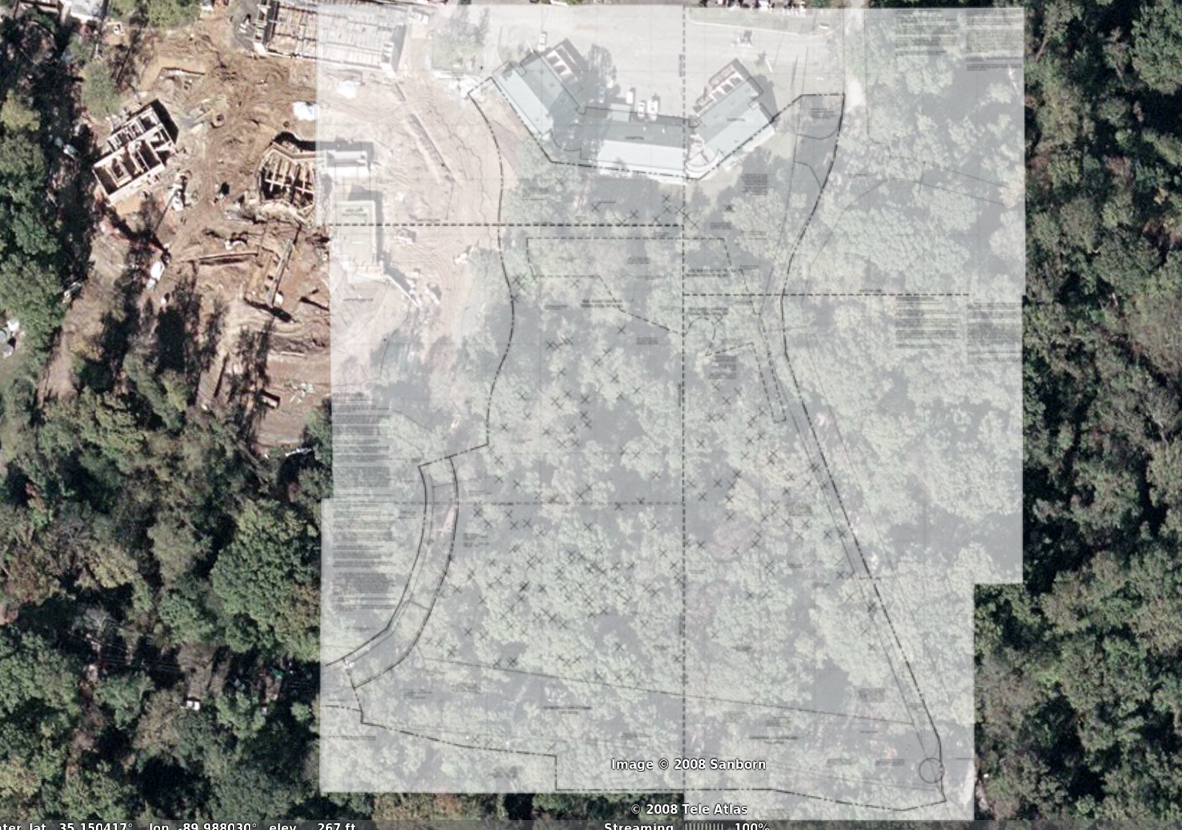
It's positioning is not perfect but you can get a sense of what's now missing, based on all those little X's.
3 comments:
Woo! Mad mapping skillz!
Interesting... the Google satellite image shows Northwest Passage under construction.
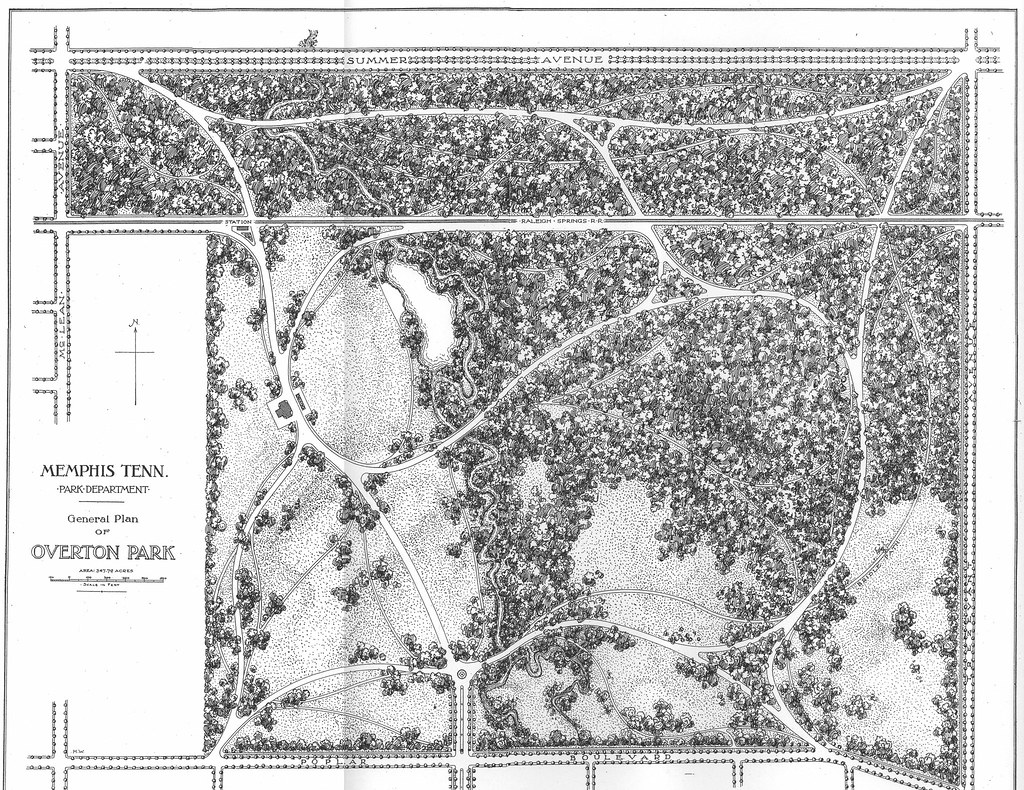
the Google Earth images of midtown Memphis are about 3 years old. Google Earth says the images are updated every 1-3 years, so they may be updated soon.
Post a Comment